Projects involving drone inspection, 2D mapping and 3D models, where the deliverable is documentation and data that can be used in operations and decisions.
 Roof inspection: noise in the loftA tenant's noise complaint resolved by drone inspection — no scaffolding, no access to the loft.
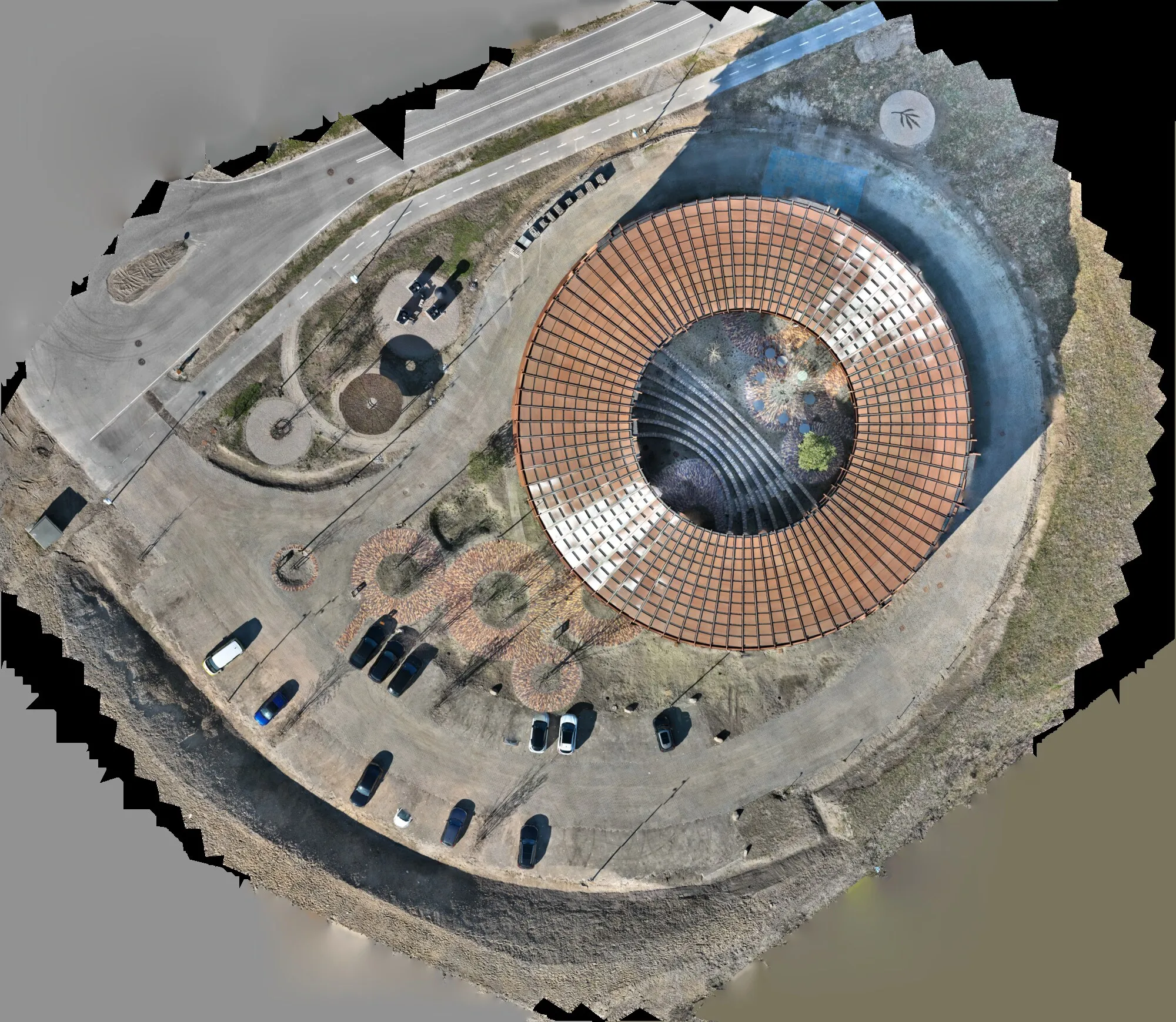 Dymak — 2D orthophoto and 3D model of an iconic buildingDrone-based data capture turned into a 2D orthophoto and an interactive 3D model that can be rotated, zoomed and measured straight in the browser.
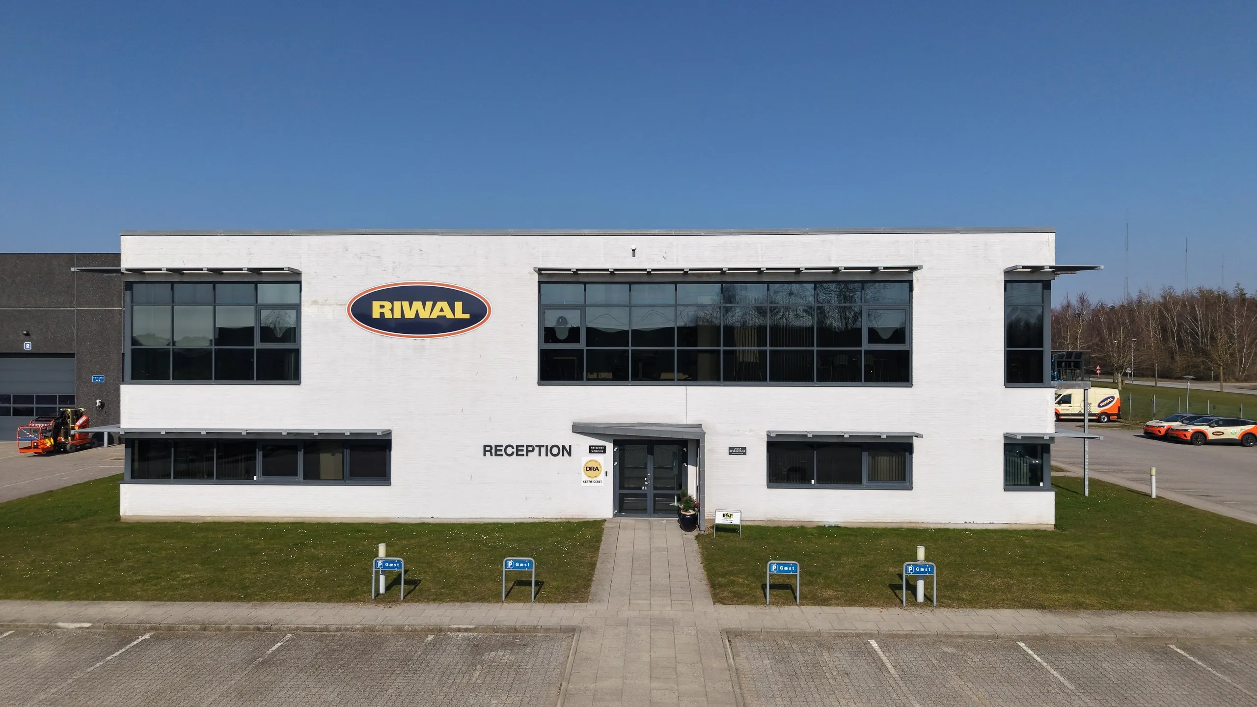 Riwal — mapping, roof inspection and 3D modelMapping, roof inspection and a 3D model from one drone project — plus video material for social media.
We use cookies for statistics
We would like to use Google Analytics to measure how the site is used so we can improve it. This only happens if you accept. Necessary cookies are always set. Read our cookie policy
