
Riwal — mapping, roof inspection and 3D model
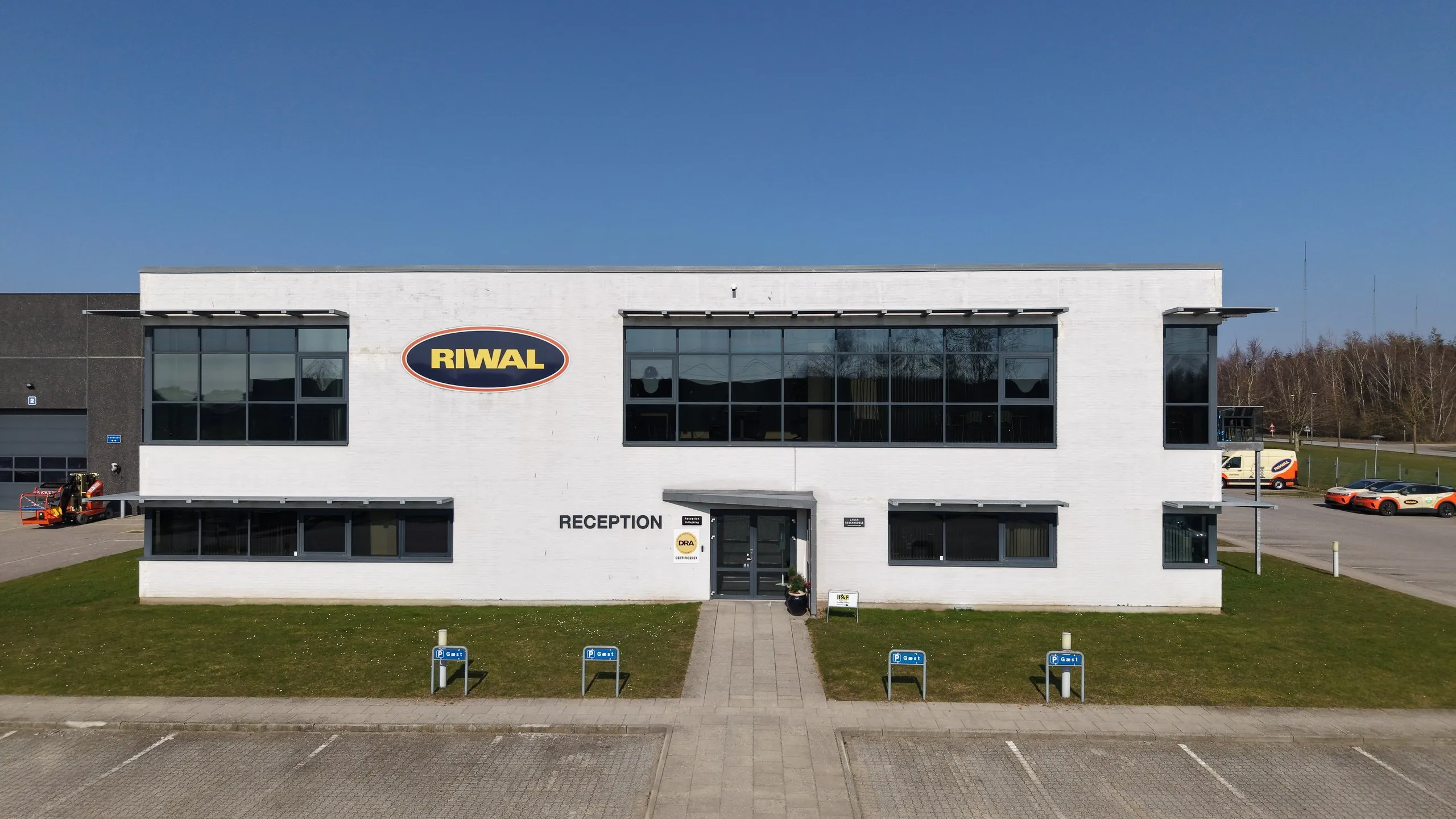
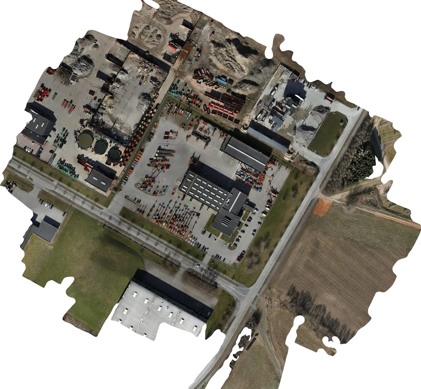
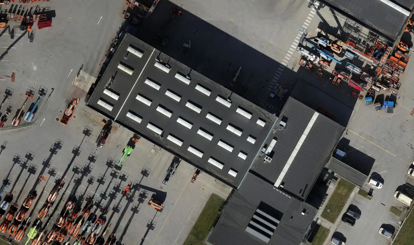
A property with both a large ground area and several buildings is usually documented in three rounds — survey, condition assessment and modelling. For Riwal it became one combined drone project.
The brief
To give one combined overview of area, building condition and structure, rather than three separate deliveries that have to be reconciled afterwards.
The delivery
2D mapping of the site, roof inspection of the buildings and a 3D model — all three built on the same drone data set.
More than data
Alongside the documentation, a short video for social media was produced as well. The same site, seen from the air, gives both a working record and something to show the world.
- Client
- Riwal
- Year
- 2026
- Services
- 2D mapping
- Roof inspection
- 3D model
- Social media video